Corns and Calluses: Causes, Treatment and Prevention
Corns and calluses explained, including causes, safe treatment, footwear changes, podiatry care, diabetes-related risks and how to prevent them.
69 FORE STREET, TOTNES, TQ9 5NJ
This profile is currently based on public provider data. Claim it to add your logo, description, services, opening hours, website, public email and useful contact details so patients see clearer, more complete information.
Approximate location based on published coordinates.
This page shows the published details for CABOT HOUSE, an NHS hospital in Totnes, TQ9 5NJ. Use the map for directions and explore nearby providers using the location links.
Fresh, practical articles for readers and patients.
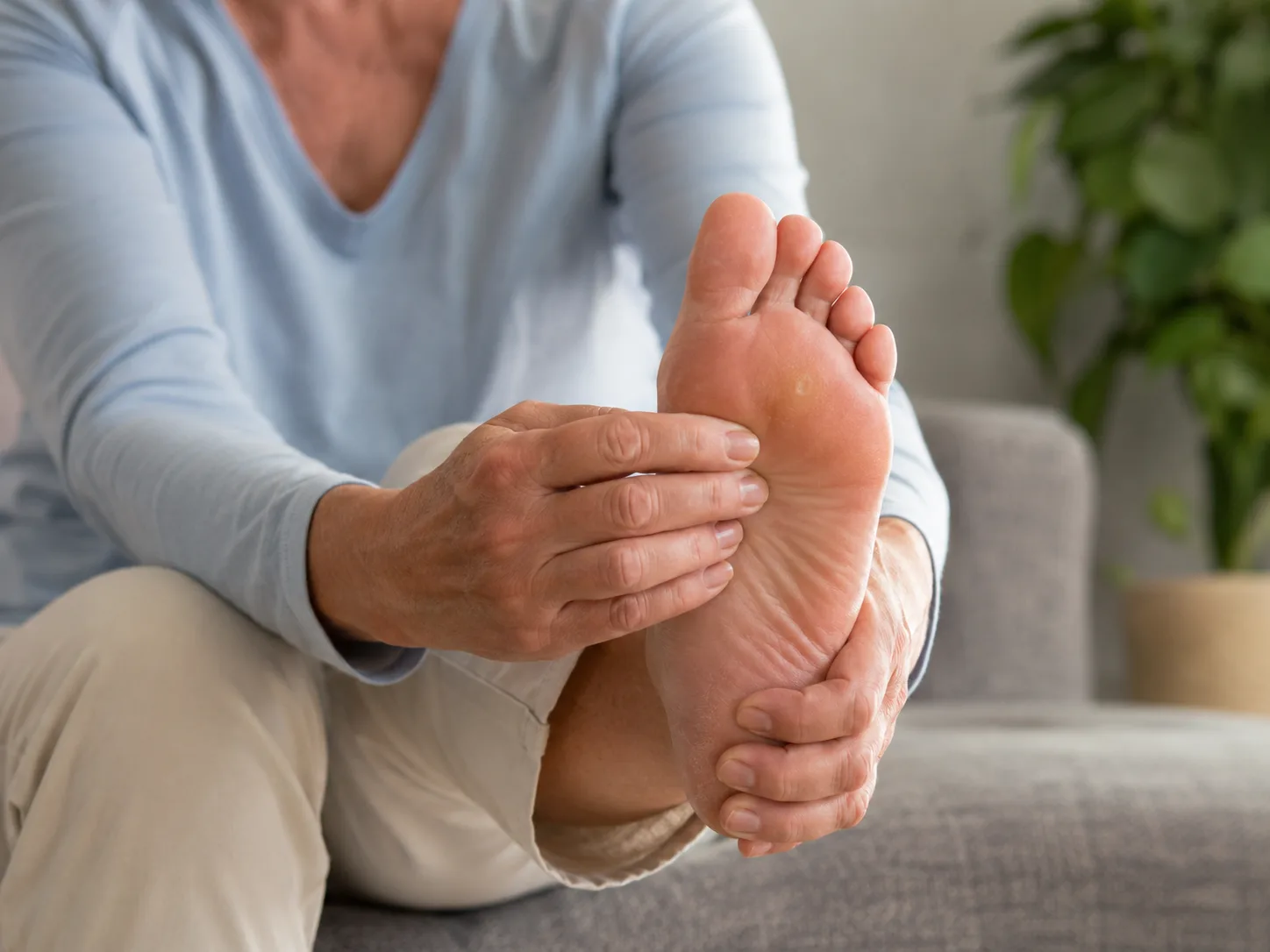
Corns and calluses explained, including causes, safe treatment, footwear changes, podiatry care, diabetes-related risks and how to prevent them.
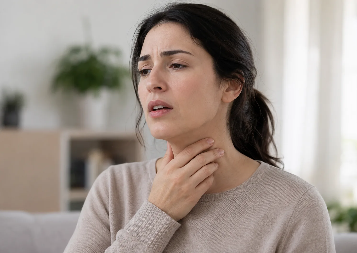
Laryngitis explained, including hoarseness, voice loss, common causes, voice rest, reflux, treatment options and when persistent symptoms need medical help.

How food, fasting, hydration, exercise, illness, medicines, supplements, timing and sample problems can affect blood test results.
Put your healthcare business in front of an engaged UK audience through sponsored articles, category visibility, banner placements and expert author profiles.
Sponsored articles from £50
View sponsorship optionsWe reply to every enquiry within 1 business day