Restless Legs Syndrome: Causes and Treatment
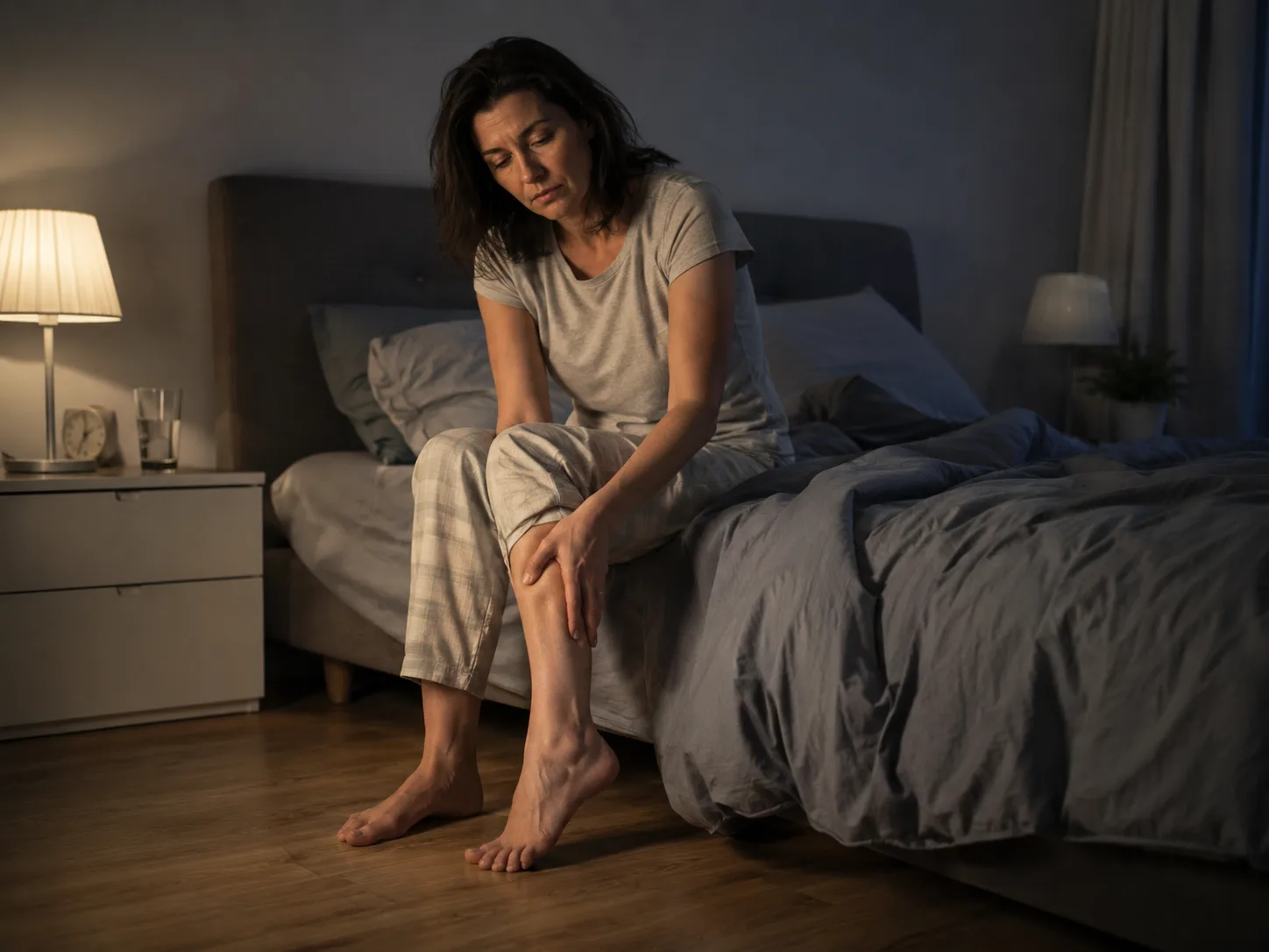
Restless legs syndrome explained, including the urge to move, night-time symptoms, iron deficiency, pregnancy, medicines, treatment options and when to see a GP.
UNIT 8, EASTGATE, WHITE LUND INDUSTRIAL ESTATE, MORECAMBE, LA3 3DY
This profile is currently based on public provider data. Claim it to add your logo, description, services, opening hours, website, public email and useful contact details so patients see clearer, more complete information.
Approximate location based on published coordinates.
This page shows the published details for MAKING SPACE, an NHS hospital in Morecambe, LA3 3DY. Use the map for directions and explore nearby providers using the location links.
Fresh, practical articles for readers and patients.
Restless legs syndrome explained, including the urge to move, night-time symptoms, iron deficiency, pregnancy, medicines, treatment options and when to see a GP.
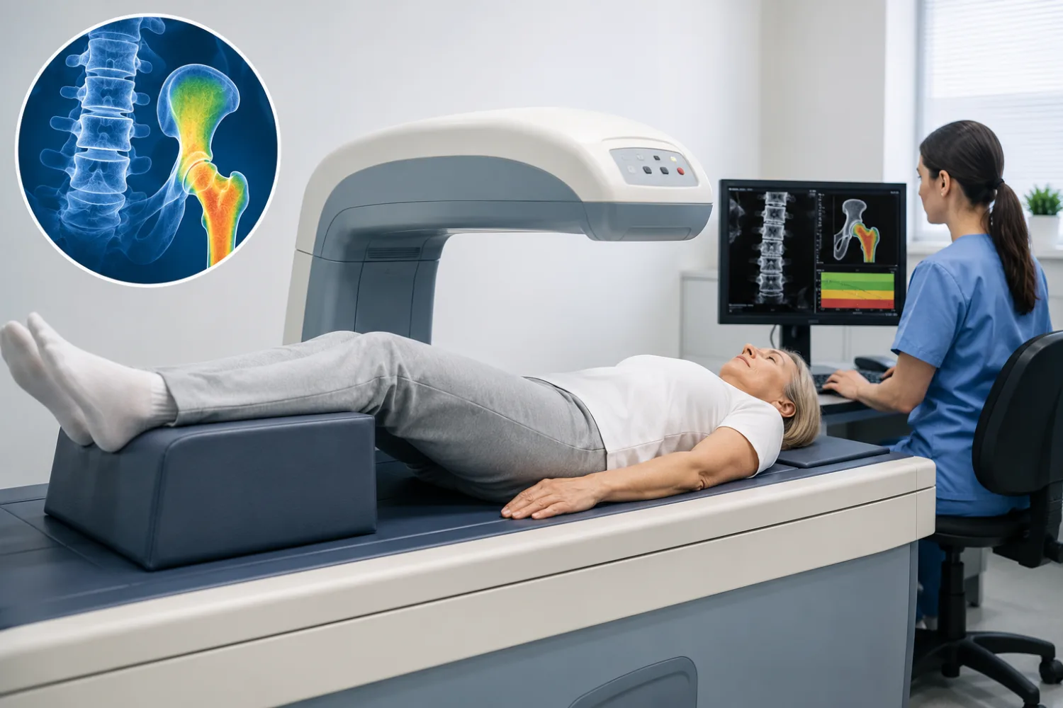
DEXA scans explained, including what bone-density tests show, T-scores, Z-scores, osteoporosis results, fracture risk and what happens after the scan.

Adult ADHD explained, including inattentive and impulsive symptoms, diagnosis, assessment, medication, workplace support and conditions that can look similar.
Put your healthcare business in front of an engaged UK audience through sponsored articles, category visibility, banner placements and expert author profiles.
Sponsored articles from £50
View sponsorship optionsWe reply to every enquiry within 1 business day