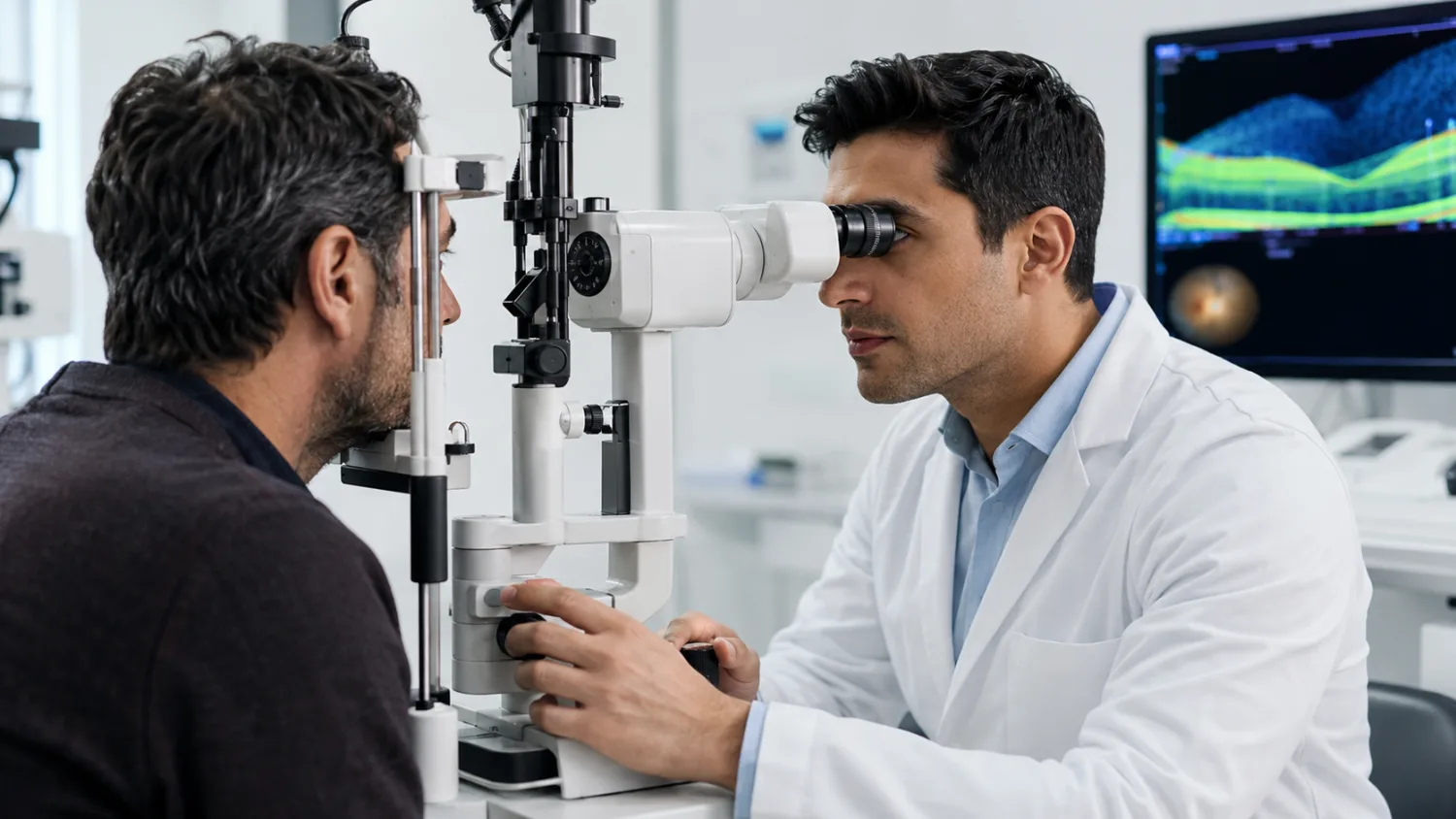
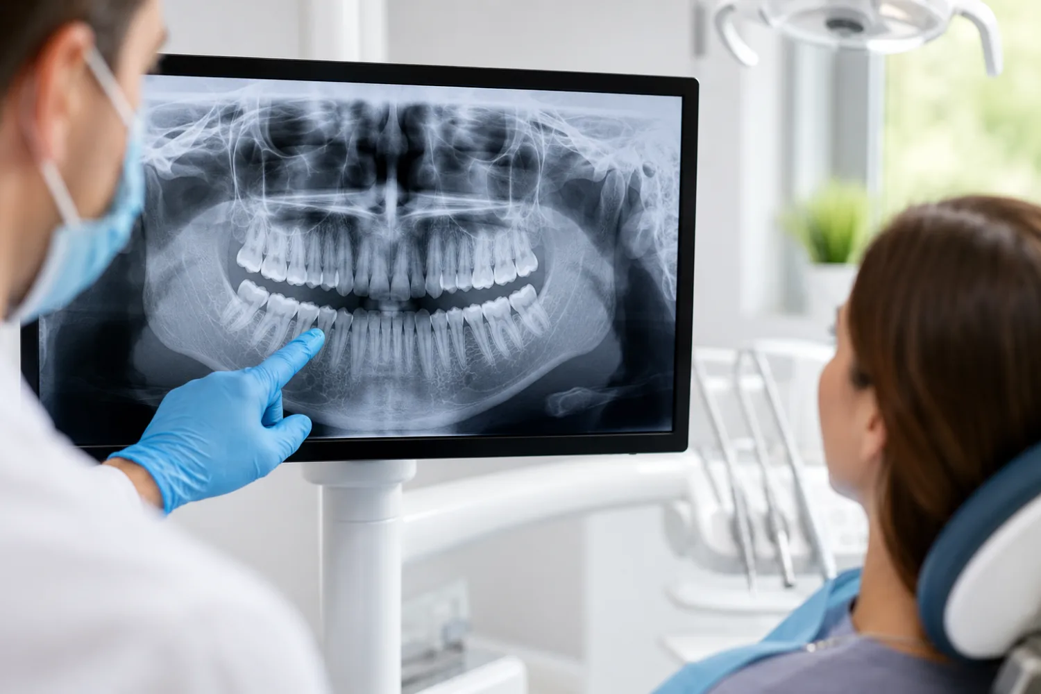
Postcode
CH6 5AE
Town / City
FLINT
Coordinates
53.249194, -3.135157
ODS code
FWR52
Contact & address
DirectionsAddress
58 CHURCH STREET
FLINT
CH6 5AE
FLINT
CH6 5AE
Map
Approximate location based on published coordinates.
Map data © OpenStreetMap contributors.
Nearby pharmacies
Nearby GP practices
Nearby dentists
About this listing
This page lists an NHS pharmacy location published in the NHS Organisation Data Service (ODS).
Availability of services and opening hours may change — if in doubt, call ahead.