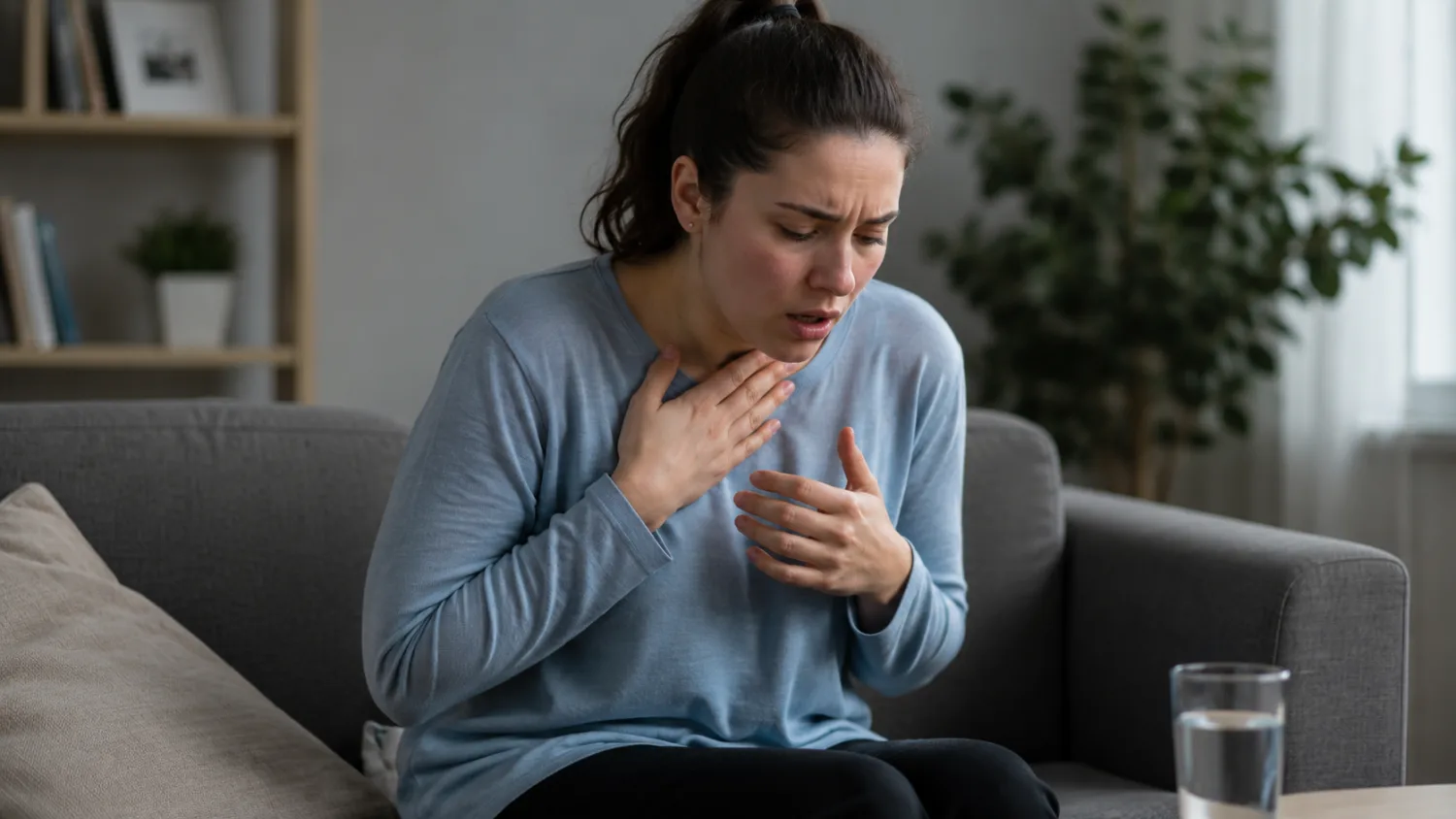
Panic Attack: Symptoms, What to Do and When It Might Be Something Else
Panic attack guide: symptoms, what to do during an attack, when to seek urgent help, possible causes, treatment options and when it may be something else.
16 FORTESCUE CLOSE, FOXHOLE, ST AUSTELL, PL26 7XT
This profile is currently based on public provider data. Enhanced profiles can add a logo, website, public email, services, opening hours, social links, a richer listing card and a direct enquiry form so patients can contact you through the profile.
Approximate location based on published coordinates.
This page shows the published details for WESTBOURNE HOUSE, an NHS hospital in Foxhole, PL26 7XT. Use the map for directions and explore nearby providers using the location links.
Fresh, practical articles for readers and patients.
Panic attack guide: symptoms, what to do during an attack, when to seek urgent help, possible causes, treatment options and when it may be something else.

Flu-like symptoms explained: cold, flu, COVID and other causes, key differences, home care, red flags and when to contact NHS 111 or a GP.

Allergy blood test results explained: understand IgE, specific allergen results, false positives, food allergies, pollen, pets, dust mites and when to seek help.
Reach people searching for UK GPs, dentists and care homes through relevant sponsor placements, homepage visibility and sponsored healthcare articles.
Appear across GP articles, NHS GP practice pages, location pages, private clinic discovery and homepage sponsor sections.
£500/month · billed monthly
Includes 2 sponsored articles per month.
Reach visitors viewing dental articles, NHS dentist listings, location dentist pages and private dental clinic profiles.
£500/month · billed monthly
Includes 2 sponsored articles per month.
Be visible across care home articles, NHS care home listings, location pages and private care home discovery.
£500/month · billed monthly
Includes 2 sponsored articles per month.
Advertise to 1,400+ daily healthcare searchers
Sponsorships from £500/mo
Reach 1,400+ daily healthcare searchers
Category sponsorships from £500/month