Regenerative Medicine for Eye Conditions: Everything You Need To Know
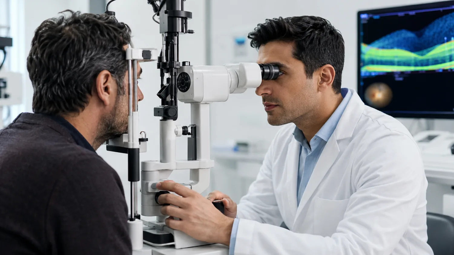
Regenerative medicine for eye conditions explained, including stem cells, exosomes, corneal repair, macular degeneration, safety risks, private claims and UK guidance.
CROSS STREET, RYDE, PO33 2AD
This profile is currently based on public provider data. Claim it to add your logo, description, services, opening hours, website, public email and useful contact details so patients see clearer, more complete information.
Approximate location based on published coordinates.
This page shows the published details for 10-11, an NHS dentist in Ryde, PO33 2AD. Use the map for directions and explore nearby providers using the location links.
Fresh, practical articles for readers and patients.
Regenerative medicine for eye conditions explained, including stem cells, exosomes, corneal repair, macular degeneration, safety risks, private claims and UK guidance.
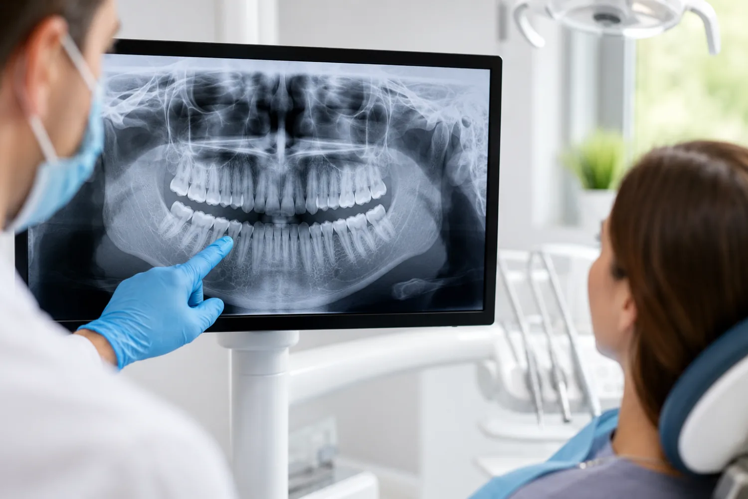
Dental X-rays explained: types, safety, costs, NHS vs private fees, pregnancy, CBCT scans, radiation risk and when your dentist may recommend one.

Sports performance blood tests explained: learn what athletes and active people can check, from ferritin, hormones and vitamin D to recovery and heart risk.
Reach people searching for UK GPs, dentists and care homes through relevant sponsor placements, homepage visibility and sponsored healthcare articles.
Appear across GP articles, NHS GP practice pages, location pages, private clinic discovery and homepage sponsor sections.
£500/month · billed monthly
Includes 2 sponsored articles per month.
Reach visitors viewing dental articles, NHS dentist listings, location dentist pages and private dental clinic profiles.
£500/month · billed monthly
Includes 2 sponsored articles per month.
Be visible across care home articles, NHS care home listings, location pages and private care home discovery.
£500/month · billed monthly
Includes 2 sponsored articles per month.